GIS Web App for Agronomists — Lanscript
a digital version of field planting history.
Lanscript mobile medicine app scores an excellent 5.0 in the Google Play
Partner's Profile
Background
An agricultural company was faced with the problem of digitizing paper journals and field books. Some of them were created in the 1980s. An agricultural company was faced with the problem of digitizing paper logs and field books. Some of them were created in the 1980s. In addition, the company needed a solution for mapping and agro-banking, crop rotation.
Objective
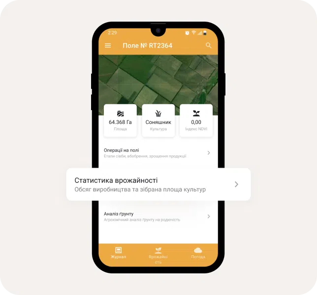
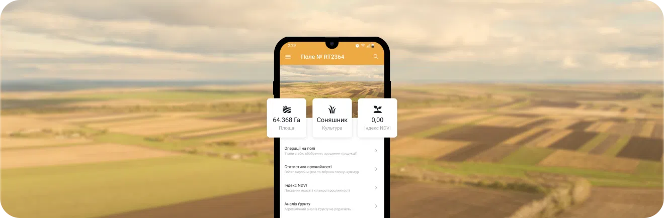
Existing paper books digitalization of fields history, visualization of full and relevant land bank (cartography), creating fertilizer application maps, crop and work analytics in connection with weather monitoring
Solution
Technologies
Web
Python, Django, Django Rest Framework, JS, JQuery, Elasticsearch, Google API (Google Places, Google Maps, Google Analytics), HTML5, PostgreSQL, MongoDB, Redis, Celery.
Mobile
Java, Android SDK, Firebase.
Satellites
Copernicus Sentinel-1, Sentinel-2, alsat-1b, cbers-4 (muxcam), kazstsat, landsat-8, sentinel-2, deimos-1, uk-dmc2, resourcesat-2, gaofen-1
Projects
Need a project estimate?
Drop us a line, and we provide you with a qualified consultation.